1. What is the “three-step” development route of the Beidou satellite navigation system?
The development of the Beidou satellite navigation system follows the strategic principles of quality first, safety first, application first, and benefit first, and adheres to the development principles of independence, openness, compatibility, and gradual progress. The overall idea is to cover the region first and then expand globally. The “three-step” development route of the Beidou system emphasizes regional guarantee, global service, and Chinese characteristics. The specific steps of this development route are as follows:
Step 1: Beidou Satellite Navigation Test System
In 1994, China launched the construction of the Beidou Satellite Navigation Test System. By 2000, two Beidou navigation test satellites were launched successively, and the Beidou Satellite Navigation Test System was established. China became the third country with an independent satellite navigation system. In 2003, the third Beidou navigation test satellite was launched, and the system performance was further improved.
The Beidou Satellite Navigation Test System consists of three parts: the space constellation segment, the ground operation control segment, and the user terminal segment. The space constellation segment includes three geostationary orbit (GEO) satellites, located at 80 degrees, 110.5 degrees, and 140 degrees east longitude respectively. The ground control segment includes the control center and calibration station, which are responsible for satellite orbit determination, ionosphere correction, user positioning, short message communication and other tasks. The user terminal segment includes handheld, vehicle-mounted and command terminals, providing positioning, timing and short message communication services, with a positioning accuracy better than 20 meters.

Step 2: Beidou Satellite Navigation System Regional Service
In 2004, China launched the construction of the Beidou Satellite Navigation System. At the end of 2012, the network consisting of 5 geostationary orbit (GEO) satellites, 5 inclined geosynchronous orbit (GSO) satellites and 4 medium earth orbit (MEO) satellites was basically completed, with regional service capabilities, providing positioning, speed measurement, timing, short message communication and other services, and the accuracy is greatly improved compared with the experimental system.
Step 3: Global service of BeiDou satellite navigation system
The BeiDou-3 system aims at global coverage. It started intensive launches in 2017. On June 25, 2019, China successfully launched the 46th BeiDou-3 satellite, marking the basic completion of the BeiDou-3 network. It will work together with the existing 20 BeiDou-3 satellites to improve system coverage and service performance. It is planned to launch another 9 BeiDou-3 satellites by the end of 2019. In 2020, the number of BeiDou-3 satellites deployed will reach 30, providing global comprehensive services.
2.What are the components of the BeiDou navigation system?
The BeiDou navigation system consists of three main parts: the space segment, the operation control segment, and the user segment. The BeiDou-3 space segment consists of 30 satellites, including 3 geostationary orbit (GEO) satellites, 3 inclined geosynchronous orbit (GSO) satellites, and 24 medium earth orbit (MEO) satellites. The operation control segment includes more than 30 ground stations, such as master control stations, injection stations, and monitoring stations. The user segment includes various BeiDou terminals, terminals compatible with other navigation systems, and related application service systems.
The currently operating BeiDou-2 system provides four services: authorization service, public service, wide area differential (satellite augmentation) service, and short message communication service. The system provides positioning accuracy better than 10 meters, timing accuracy better than 20 nanoseconds, and speed measurement accuracy of 0.2 meters per second.
3.What services can the BeiDou-3 system provide?
The BeiDou-3 system is the most complex system in the global navigation satellite system (GNSS). It represents the fusion of the BeiDou-2 regional system and the BeiDou-3 global system, combining three types of satellite orbits: geostationary orbit (GEO), inclined geosynchronous orbit (IGSO) and medium earth orbit (MEO). The BeiDou-3 system provides positioning, navigation and timing (PNT) services as well as communication services.
The 20th BeiDou-3 networking satellite was launched on April 23, 2019, and is the first IGSO satellite of the BeiDou-3 system. It is networked with 18 MEO satellites and 1 GEO satellite launched previously. In 2019, 6 medium earth orbit (MEO) satellites, 2 geostationary orbit (GEO) satellites and 2 geostationary orbit (GSO) satellites will also be launched, with the goal of building a complete constellation network of 30 BeiDou-3 satellites by 2020 to provide global services. By then, the total number of BeiDou-3 satellites in orbit will reach 30, including 3 GEO, 3 inclined geostationary orbit (IGSO) satellites and 24 medium earth orbit (MEO) satellites, which is the largest constellation among the current GNSS rated constellations.
The performance indicators of BeiDou-3 global services include: spatial signal ranging error better than 0.5 meters, single-frequency positioning accuracy of 7 meters, dual-frequency positioning accuracy of 3 meters, speed measurement accuracy of 0.2 meters/second, timing accuracy of 20 nanoseconds, and availability of 99%. In addition, the service performance in the Asia-Pacific region is significantly better than the global performance. Best-selling wifi jammers and GPS jammers in Europe and America.
4.What are the characteristics of the BeiDou system compared to other GNSS?
The BeiDou-3 system has significant characteristics that distinguish it from other GNSS, the most notable of which is the provision of regional and global short message communication services, which is not available in other GNSS systems. This unique attribute can be attributed to the development process of the BeiDou system, which evolved from an active system and retained the relevant characteristics. This feature was first introduced in BeiDou-2 and continued in BeiDou-3, enabling the system to provide regional and global short message communication services.
In addition, the BeiDou-3 system combines a global basic service system with a regional satellite-based augmentation system, making it the most complex system in the world. It integrates three orbital forms: medium earth orbit (MEO), geostationary orbit (GEO) and inclined geosynchronous orbit (GSO). This combination is a pioneering exploration of the integration of navigation and communication satellites, laying the foundation for future developments in this field.
5.What is the principle of Beidou-1 active positioning?
The BeiDou-1 Satellite Navigation Test System, also known as BeiDou-1, uses the principle of active positioning. It consists of three key parts: three positioning satellites (two operational satellites and one backup satellite), the ground segment (including the ground control center and calibration station), and user terminals. BeiDou-1 provides all-weather real-time positioning services with a calibrated accuracy of 20 meters and an uncalibrated accuracy of 100 meters.
The BeiDou-1 Test System was officially established in 1994 and has been in operation since the launch of two satellites in 2000, and was completed in 2003 with the addition of a backup satellite. Its service coverage is 70-140° east longitude and 5°-55° north latitude. Once the satellite reaches the end of its service life, the system will cease operation.
The BeiDou-1 Satellite Navigation Test System consists of a space segment, which includes three geostationary satellites located at 80 degrees, 110.5 degrees, and 140 degrees east longitude of the equator. The ground control segment includes a control center and a calibration station. The control center is responsible for tasks such as satellite orbit determination, ionospheric correction, user location determination and short message information exchange. The calibration station provides distance observation and correction parameters to the control center. The user segment includes various terminals such as handheld, vehicle-mounted and command-type terminals, which are used to transmit positioning applications and receive position coordinate information.
The main functions and performance indicators of the Beidou-1 test system are as follows:
- Service functions: positioning, one-way and two-way timing, short message communication
- Service area: China and surrounding areas
- Positioning accuracy: better than 20 meters
- Timing accuracy: one-way 100 nanoseconds, two-way 20 nanoseconds
- Short message communication: 120 Chinese characters are transmitted each time
The Beidou-1 space segment consists of two operating satellites and one on-orbit backup satellite, all of which are operating in a geostationary orbit about 36,000 kilometers from the ground. The signal output and input between the ground control center, satellites, user terminals and calibration stations use different frequencies. The ground control segment includes the control and management center, which is responsible for satellite monitoring, user position calculation, timing and communication. The tracking and control station monitors the satellite and provides input to the control center, while the calibration system performs tasks such as satellite orbit measurement, differential positioning and barometric altimetry. The user segment consists of ordinary user computers, command user computers and timing user computers.
Beidou-1 adopts active positioning. The distance measurement from each satellite to the user is independent of the user computer clock. The accuracy of the distance measurement depends on the accuracy of the signal source atomic clock. The system needs to obtain accurate geographic elevation data from the national elevation database. The positioning principle of Beidou-1 is to construct three spheres, two of which have known satellite positions and distances from users, and one sphere is the radius of the earth plus the user’s elevation. The intersection of these three spheres on the earth is the user’s position, following the “three-sphere intersection measurement principle”. The positioning process includes the ground center sending a query signal to the satellite, the user computer responding with its own signal, the ground center calculating the position based on data such as round-trip delay, sending the position information to the user, and displaying the position on the user terminal.

6.What is the system composition and passive positioning principle of Beidou-2?
BeiDou-2 is a satellite navigation system that provides positioning, navigation and timing services for the Asia-Pacific region. It consists of four types of services: authorized service, public service, wide area differential service and position reporting service. The system provides wide area differential service with a positioning accuracy of 1 meter and short message communication service for authorized users in China and surrounding areas. The position reporting service has been modified to increase user capacity and reduce transmission power by transitioning from dual coverage to single coverage and from dual-satellite operation to triple-satellite operation, adopting the “three-receive single-transmit” operation mode to meet the requirements of fast positioning and position reporting.
The main functions and performance indicators of BeiDou-2 are as follows:
- Main functions: positioning, speed measurement, one-way and two-way timing, short message communication
- Service area: China and parts of the Asia-Pacific region
- Positioning accuracy: better than 10 meters
- Speed measurement accuracy: better than 0.2 meters/second
- Timing accuracy: 50 nanoseconds (two-way: 10 nanoseconds)
- Short message communication: 120 Chinese characters are transmitted each time
In addition to the positioning, navigation, and timing services provided by GPS, BeiDou-2 also provides special functions such as position reporting, communication, and regional high-precision positioning/timing. It integrates RNSS (Radio Navigation Satellite System) and RDSS (Radio Determination Satellite Service) applications, allowing users to independently perform continuous positioning and speed measurement tasks without sending response signals, and can use RDSS for position reporting, user tracking and identification, and short message communication as needed. BeiDou-2 supports RNSS and RDSS dual-mode fusion, and supports the application fusion of foreign GPS and GLONASS in user terminals.
The BeiDou-2 system consists of three parts: space constellation, ground operation control, and user terminal. The satellite constellation consists of 5 GEO (geostationary orbit) satellites, 5 GSO (geosynchronous orbit) satellites and 4 MEO (medium earth orbit) satellites. The ground operation control system is responsible for satellite signal management and information processing. The user terminals include various types of Beidou terminals, including terminals compatible with other navigation systems.
Beidou-2 achieves multi-system compatibility and interoperability, allowing users to use the positioning, navigation and timing services of multiple satellite navigation systems at the same time. This means that the Beidou system can work independently or in conjunction with other GNSS (global navigation satellite system) systems without interfering with each other. The receiver can use the signals of Beidou, GPS, GLONASS and Galileo satellite navigation systems for navigation, providing enhanced service performance.
With the continuous development of the Beidou satellite navigation system, the concept of user segment has been continuously expanded to cover a wider range of applications and integration with other technologies. Satellite navigation has become an indispensable part of all walks of life in the economy and society, an important part of spatiotemporal information services, and has shaped the production, lifestyle and ecological model of the information age. The user segment has evolved into a system-level concept, reflecting the potential application and service value of the satellite navigation system and its leading role in society.
7.What are the innovative designs of Beidou-3 signals?
The signal design of BeiDou-3 (BDS Global System) adopts several innovative technologies to meet the challenges of frequency restrictions, compatibility with other systems, intellectual property rights and growing service demands. These innovative designs include:
1.QMBOC (Quadrature Multiplexed Binary Offset Carrier):
- The center frequency of the civil signal B1C is set to 1575.42MHz, which is consistent with the GPS L1 and Galileo E1 frequencies.
- QMBOC modulates the BOC(1.1) and BOC(6,1) components on two orthogonal phases, avoiding cross-correlation interference and patent issues.
- QMBOC provides high ranging accuracy, stability and compatibility with GPS and Galileo signals in the same frequency band.
2.TD-AltBOC (Time Division Alternating Binary Offset Carrier) and ACE-BOC (Asymmetric Constant Envelope Binary Offset Carrier):
- B2a and B2b frequencies support interoperability with GPS L5 and Galileo E5.
- TD-AltBOC uses time division multiplexing for data and pilot components, simplifying transmitter implementation.
- ACE-BOC has independent intellectual property rights, data and pilot components are placed orthogonally, and power ratio control is flexible.
- Both TD-AltBOC and ACE-BOC ensure signal compatibility, adjustability, and support future Beidou+GPS+Galileo receiver designs.
3.Dual QPSK:
- Dual QPSK is an onboard multiplexing technology that enables a medium-power combination of BOC and QPSK at the B3 frequency point.
- It allows flexible power control and constant envelope merging of two QPSK-like signals, thereby optimizing implementation and power efficiency.
These innovative signal designs of Beidou-3 overcome patent barriers, ensure compatibility with other systems, improve ranging performance, anti-interference capabilities, and support future receiver architectures. They also emphasize independent intellectual property rights, simplify transmitter implementation, and meet the evolving needs of the navigation industry.
8.What are the time reference system and space reference system of the Beidou system?
The BeiDou satellite navigation system uses the Chinese Geodetic Coordinate System 2000 (CGCS2000) as the coordinate system and BeiDou Time (BDT) as the time reference.
The CGCS2000 geodetic coordinate system is defined as follows: the origin is located at the center of mass of the earth, the Z axis points to the reference pole determined by the International Earth Rotation Service (ERS), the X axis is aligned with the reference meridian passing through the intersection of the equatorial plane orthogonal to the Z axis and the origin, with the positive reference pole as the reference, the Y axis, Z axis, and X axis form a right-handed rectangular coordinate system, the origin of CGCS2000 is also the geometric center of the CGCS2000 ellipsoid, and the Z axis is the rotation axis of the rotating ellipsoid. The key constants defined by the CGCS2000 reference ellipsoid include:
- Semi-major axis: a = 6378137.0m
- Earth gravitational constant (including atmosphere): μ = 3.986004418×10^14m^3/s^2
- Flattening rate: f = 1/298.257222101
- Angular velocity of Earth rotation: ω = 7.2921150×10^-5rad
In terms of time system, the BeiDou system uses BeiDou Time (BDT) as a reference. BDT uses the International System of Units (SI) second as the basic unit, which is accumulated continuously without using intermittent seconds. The starting epoch of BDT is 00:00:00 Coordinated Universal Time (UTC) on January 1, 2006. BDT calculates the number of days of the week and seconds within the week. It is synchronized with the International Coordinated Time (UTC) through UTC (NTSC), ensuring that the deviation between BDT and UTC is kept within 100 nanoseconds (modulo 1 second). The leap second information between BDT and UTC is conveyed in the navigation message.
9.How does Beidou-3 achieve high-precision positioning, navigation and timing?
The BeiDou-3 satellite navigation system ensures high-precision positioning, navigation, and timing through several key measures and functions. These measures and functions include:
- Use of atomic clocks: BeiDou-3 uses onboard atomic clocks, such as rubidium clocks, cesium clocks, and hydrogen clocks, which are extremely accurate timekeeping devices. The stability error of these clocks ranges from 10^-13 to 10^-15, ensuring accurate measurement of time. By using atomic clocks as time and frequency standards, BeiDou-3 achieves high-precision measurements and precise distance calculations between satellites and receivers.
- System design: BeiDou-3 uses system design techniques to improve accuracy. For example, using dual-frequency or multi-frequency signals helps eliminate ionospheric effects, which affect different frequencies to different degrees. By using the known frequency ratio relationship, the same-frequency normalized differential cancellation method can be used to mitigate ionospheric effects.
- Multi-mode enhancement and error correction: BeiDou-3 uses a variety of enhancement techniques and error correction methods to eliminate errors that affect accuracy, including providing accurate satellite ephemeris orbit correction, clock correction, and ionospheric error correction. The availability of real-time network corrections significantly improves the accuracy of user positioning.
- Differential technology: BeiDou-3 widely adopts different levels of differential technology, such as code phase and carrier phase parameters, local and wide area differential, static and real-time differential, and network-based differential. These technologies further improve accuracy by compensating errors and improving positioning accuracy.
- Optimizing satellite distribution: BeiDou-3 considers the geometric distribution of satellites in space to minimize error amplification factors. By strategically deploying satellites, the system aims to optimize the geometric factor coefficient of accuracy. The interoperability of satellite signals from multiple global navigation satellite systems (GNSS) can improve positioning accuracy and provide new opportunities for achieving higher levels of accuracy.
BeiDou-3 achieves high-precision positioning, navigation and timing by adopting atomic clocks, system design, error correction technology, differential technology and other means. It has the characteristics of global coverage, all-weather operation, unlimited user capacity, real-time dynamics, etc., and stands out among many navigation systems.
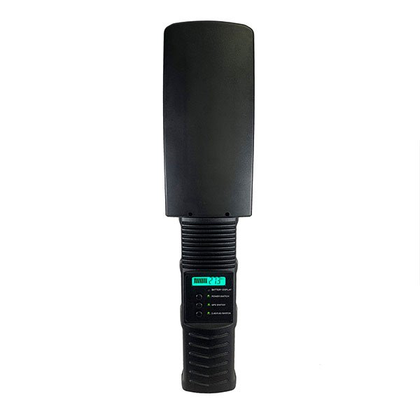
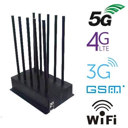
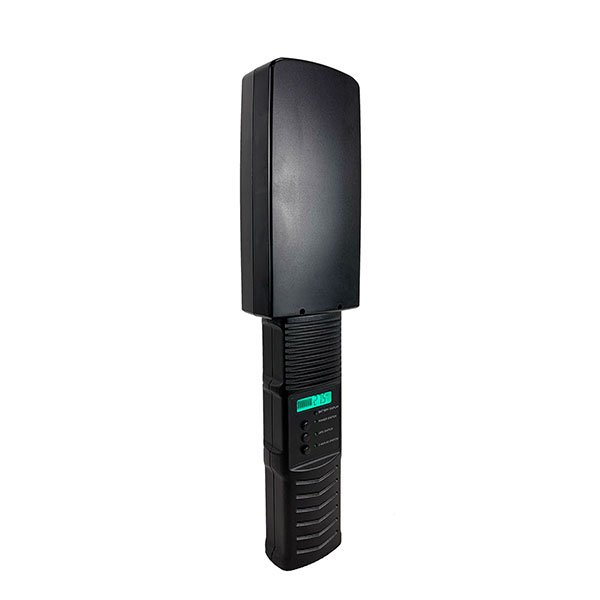
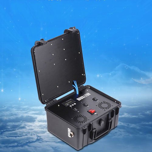
Best Selling Signal Jammers
-
Product on sale
 4G Jammer Hot Sale 8 Antenna Portable Handheld Cell Phone Signal BlockerOriginal price was: $599.00.$219.99Current price is: $219.99.
 -
Product on sale
 World First Portable 24 Antenna Full Frequency Jammer Blocks All SignalsOriginal price was: $1,599.00.$829.88Current price is: $829.88.
 -
Product on sale
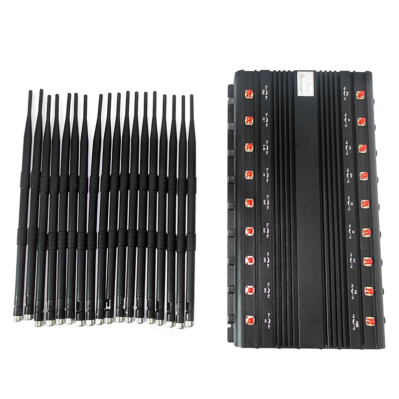
 Handheld 4G 5G Jammer VHF LOJACK WiFi GPS 16 Antenna Interceptor High PerformanceOriginal price was: $1,539.00.$839.99Current price is: $839.99.
 -
Product on sale
 6 Antennas Cell Phone Signal Jamming Device WIFI GPS GSM 3G CDMA DCS 4GOriginal price was: $429.00.$199.99Current price is: $199.99.